Directions to the Macsherry Trail: Take State Route 12 to the border between Jefferson and St. Lawrence County (6.1 miles east of Alexandria Bay). Turn north toward Kring Point State Park, then turn immediately right onto Indian Point Road (a dirt road). This road is marked private, but visitors to the Macsherry Trail are welcome. Travel approximately 3/4 mile to the parking area on the right.
ADDRESS: 164 Indian Point Road, Hammond, NY 13646
Crooked Creek Preserve
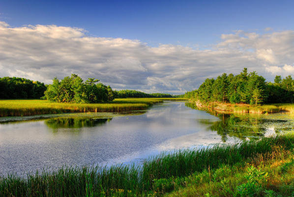
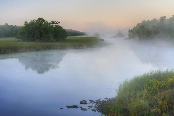
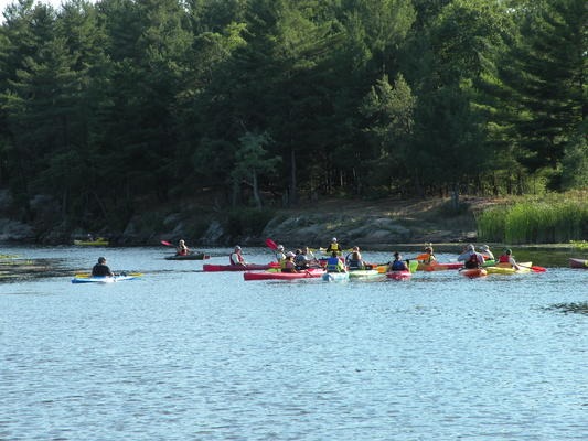
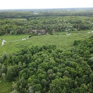
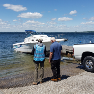
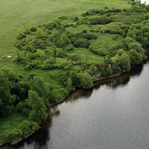
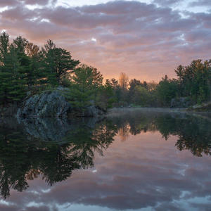
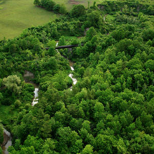
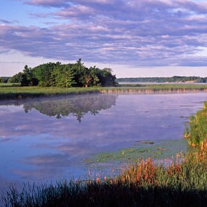
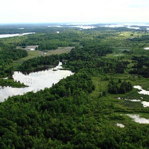
The Preserve consists of roughly 2,100 acres of class I wetlands, uplands and forest along Crooked Creek in the Towns of Hammond (St. Lawrence County) and Alexandria (Jefferson County). It is one of the most significant wetlands on the St. Lawrence, providing habitat for countless species. Bald eagles regularly fly overhead and the creek meanders for miles of quiet paddling or putting in your outboard.
Explore Crooked Creek on a TILTrek, or feel free to explore the creek on your own!
The Land Trust grants permission to hunt on the preserve in the fall. Contact the Stewardship Coordinator for information about obtaining a permit.
The Macsherry Trail (on Crooked Creek Preserve)
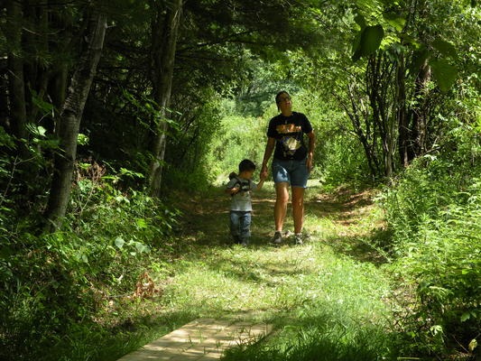
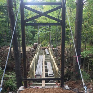
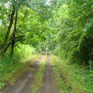
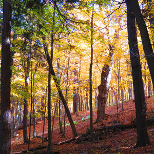
Roughly three miles long, the Macsherry Trail begins at a trail head off of Indian Point Road in Hammond. Passing beaver ponds and meandering through woods, it leads to Crooked Creek itself with a wonderful view of Chippewa Bay at the "Old Boyscout Camp," before circling back to the trailhead.
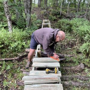
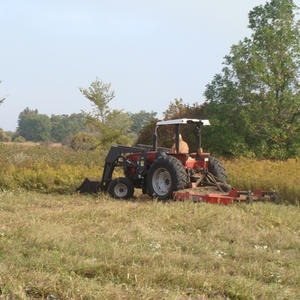
Volunteers help to maintain the Macsherry Trail and steward the Preserve.
Click here for the Crooked Creek Preserve and Macsherry Trail guide.
History of the Preserve
Once part of the Day Farm, the Preserve was acquired by the Land Trust in 1998 with the help of a grant from the Sweetwater Trust. In 2000, the children of Richard and Mary Macsherry donated the resources to build the Macsherry Trail, in honor of their parents' 50th wedding anniversary.
